

Conservation & Accessibility
Planning Your Park
JUMP TO:


MORE PLANNING SECTIONS:
Urban parks are most often combinations of natural, undeveloped areas and developed areas for recreation, education, active transportation, and gathering. There are benefits to both aspects, but there can be a challenge balancing the need to conserve natural spaces, and to accommodate intensive human use of the same spaces.
Studies have shown the benefits of interacting with nature, even for short periods of time, can reduce depression. The benefits of a thriving tree canopy and green-ness in communities means that urban parks contribute to the overall health and wellbeing of citizens.
Your urban park will make a real difference to your community!
CONSERVATION & ACCESS
Balancing Preservation with Accessbility

There are many online resources available for assessing how to create a conservation area within your community. You will join a network of municipalities across Canada who have dedicated time and resources to this important work.
*Visit the Resources section for links to conservation websites.
Deciding on how to balance conserving green spaces with infrastructure needs will depend on your park vision, and the location that you have chosen for your park project or trail network. A well drafted masterplan can help, and careful consideration of long term benefits and costs to maintaining this balance is crucial.
Conservation of our waterways, natural areas, native species, forests, and grasslands in general has wide ranging benefits, not just for your community, but for the environment and for protecting sensitive areas.
Biodiversity within our urban areas is declining, and this presents risks to the health of our communities. Conservation also extends to protecting the history of our regions, and Indigenous culture that plays an essential role in understanding our connection to the land and our neighbours.
The Case for Conservation Efforts
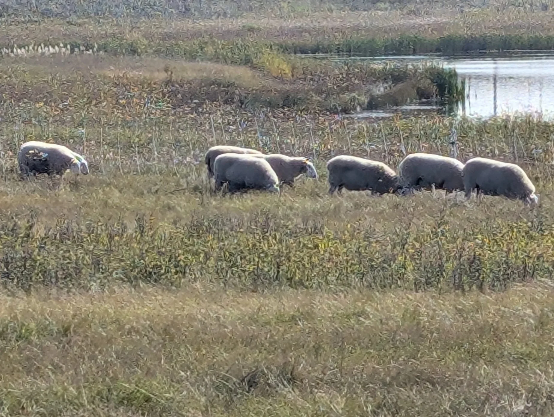
Targeted Grazing for Grassland Conservation in the Northeast Swale, Meewasin Valley, Saskatoon
ASUPCA members are dedicated to conservation efforts, and see the benefits in engaging and educating citizens within urban parks. These parks have experience in conservation techniques that can guide communities in understanding and valuing conservation efforts as part of their park development plans.

North Saskatchewan River, Battleford River Valley, North Battleford
Integrating Waterways in your Park or Conservation Area
Does your park project or park masterplan integrate or align with a waterway, or an important part of a watershed? Water sources have specific legislation and permits around their use, so connect with your local watershed district authority before you make too many plans in and around water sources. The Water Security Agency website is a great place to start learning about what you can and cannot do near waterways.
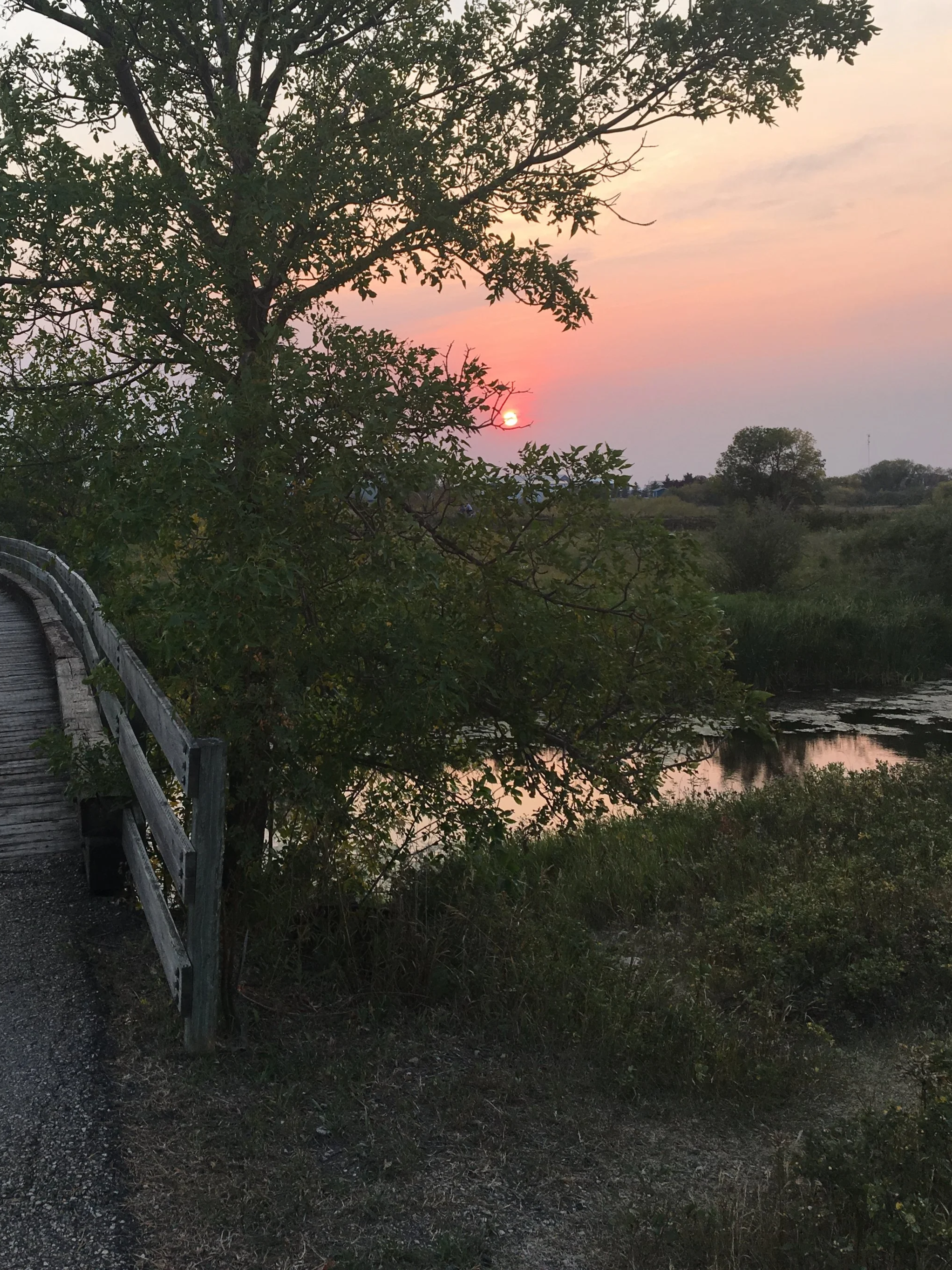
Integrating waterways and water bodies into urban parks where possible is a great opportunity to ensure conservation of shorelines and native species. Plus, access to water sources open up all new ways for visitors to learn more about the world around them! Education programs for kids often use water sources for easy ways to interact with native species: birds, bugs, fish, beavers, muskrats, and frogs are sources of wonder for kids of all ages.

Souris River, Tatagwa Parkway, Weyburn

Wascana Lake, Regina
Balancing Use & Conservation
Urban parks and trails balance the needs of users, plants, and animals, and the infrastructure required for safety and accessibility. These publicly accessible spaces need to facilitate safe and appropriate uses while also discouraging undesired uses. Project plans need to consider both accessibility and appropriate barriers to discourage certain uses.
How can you strike the right balance with your plans and projects?
Balancing City Living with Natural Environments: A Use Case from Meewasin Valley Authority
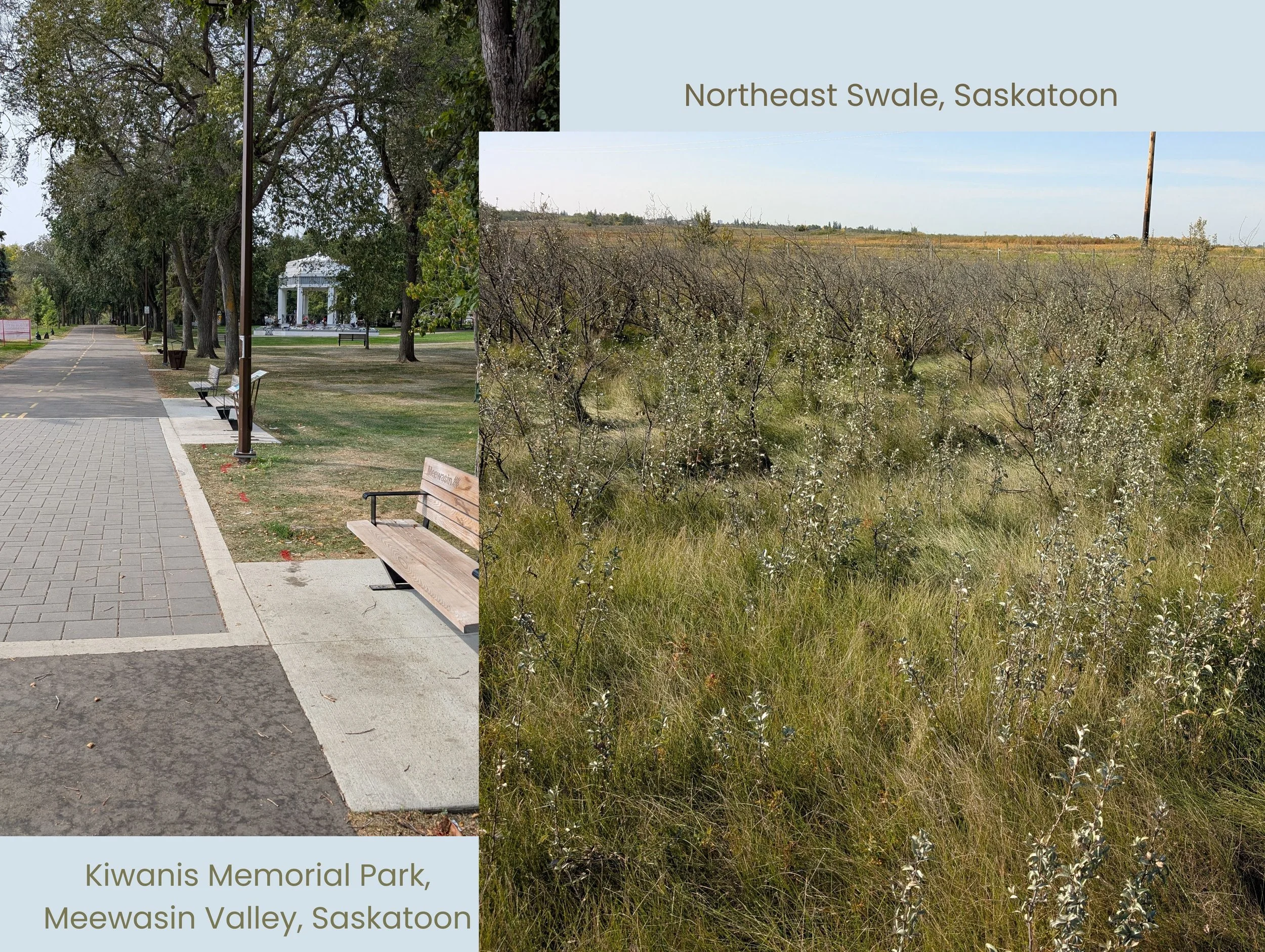
The Meewasin Valley is a natural system that includes intensive use, developed trails, amenities, and conservation areas with lower intensity uses. This allows for multiple uses throughout the Valley, including active transportation and recreation, as well volunteer capacity to support their work in native grasslands and natural spaces within and around the city.
High intensity use areas provide opportunities to educate residents and visitors about the benefits of parks and conservation! These users are interacting easily with the natural environment because it is highly accessible. Integrating detailed wayfinding and interpretive signage within the downtown core gives users the opportunity to learn more about the valley, its history, and its value to the city and surrounding region.
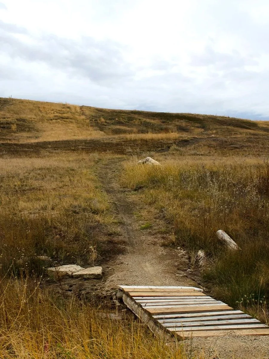
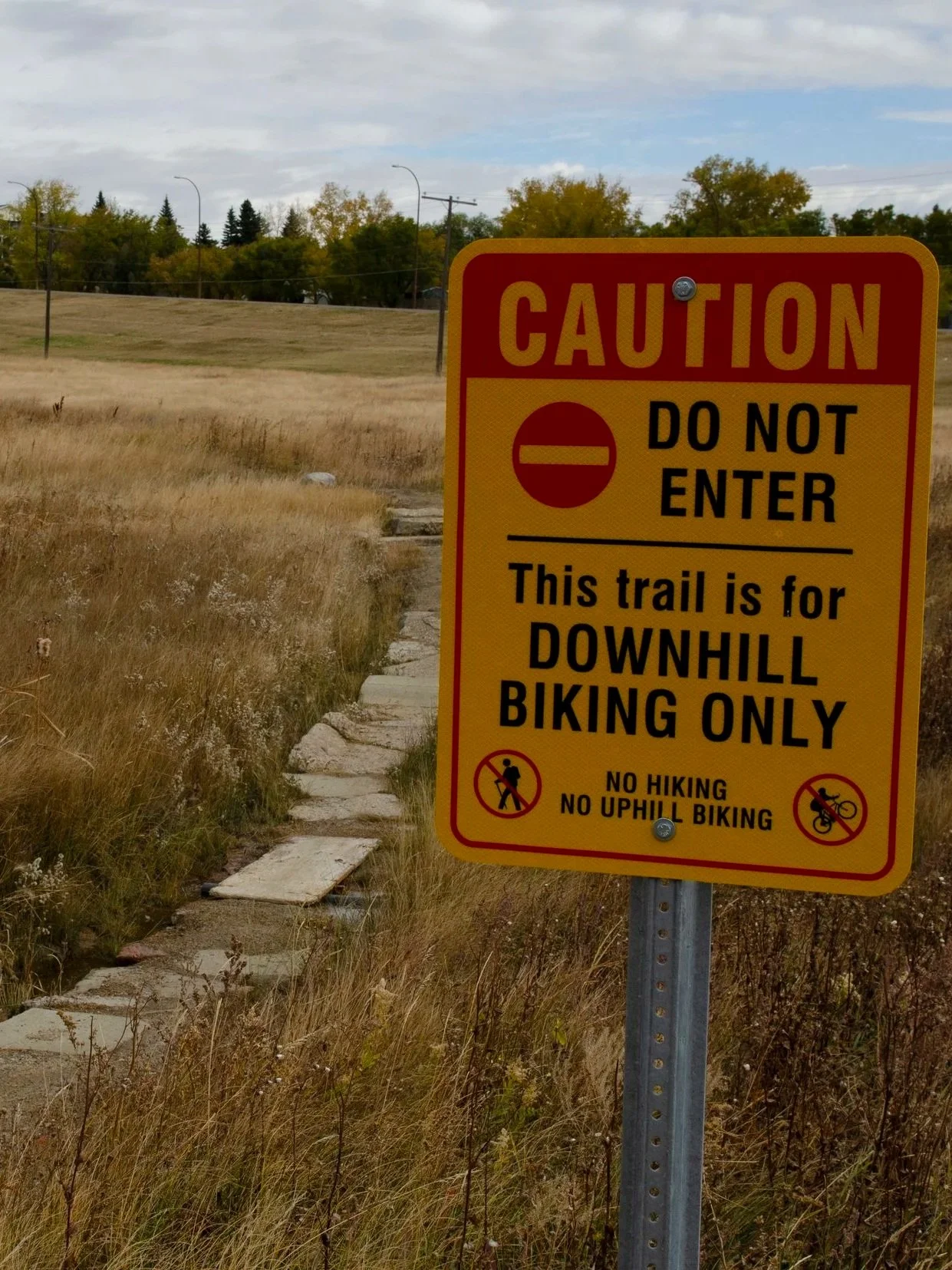
Desire Lines and Official Trails: Use Cases from Weyburn & Swift Current
Urban parks promote recreation and get people outdoors more often! This might mean that some user groups want to use the park system for activities they enjoy the most, even if that wasn’t the original intent for the park plan. In these cases, you will need to handle desire lines and official trails safely and with an eye to conservation practices.
Swift Current and Weyburn parks systems have both carved out spaces for mountain bike trails, developed and maintained through use. These trails are not official trails, but they serve to increase desired uses of otherwise underused or difficult to maintain areas that might attract undesirable uses.
These trails have relatively low impact in the area, have limited effect on ecologically sensitive regions, and will disappear easily should use stop. In this case, providing permission for desired uses has positive benefits. Be mindful of the safety of other users when allowing desire lines and provide some information signage about area uses - otherwise let them have fun!
Desire Line along the river branching off an official trail, Weyburn
Moutain bike trail. maintained by users, Swift Current
Mountain bike trail warning sign on trail maintained by users, Swift Current
Conservation of Culturally Significant Areas: Respecting the History of the Land
Conservation doesn’t just mean conserving ecologically important areas; it can also mean conserving culturally significant areas and protecting these areas from development.
The Meewasin Valley, Little Red River Park, Battleford River Parkway, and Wakamow Valley integrate Indigenous cultural education into their park systems and signage. These parks have protected areas and have worked with First Nation organizations in their region on conserving and understanding historical uses. By integrating culturally important areas into their conservation strategies, each has become the source of important partnerships and opportunities to share Indigenous history, cultural practices, and language.
In April 2024, the Prince Albert Indian Metis Friendship Center (PAIMFC) approached the city with a vision to reclaim and revitalize the space as a site for traditional ceremonies, cultural gathering, and youth engagement. Since then, a Master Plan has been developed with the guidance of Elders, Traditional Knowledge Keepers, Youth representatives, and community Partners. (Top Image)
Archeological exploration in Wakamow Valley was initiated by the province in the 1960s, and the park masterplan from the 1970s outlines in detail the historical uses of this ecologically, economically and culturally important river valley. (Bottom Image)
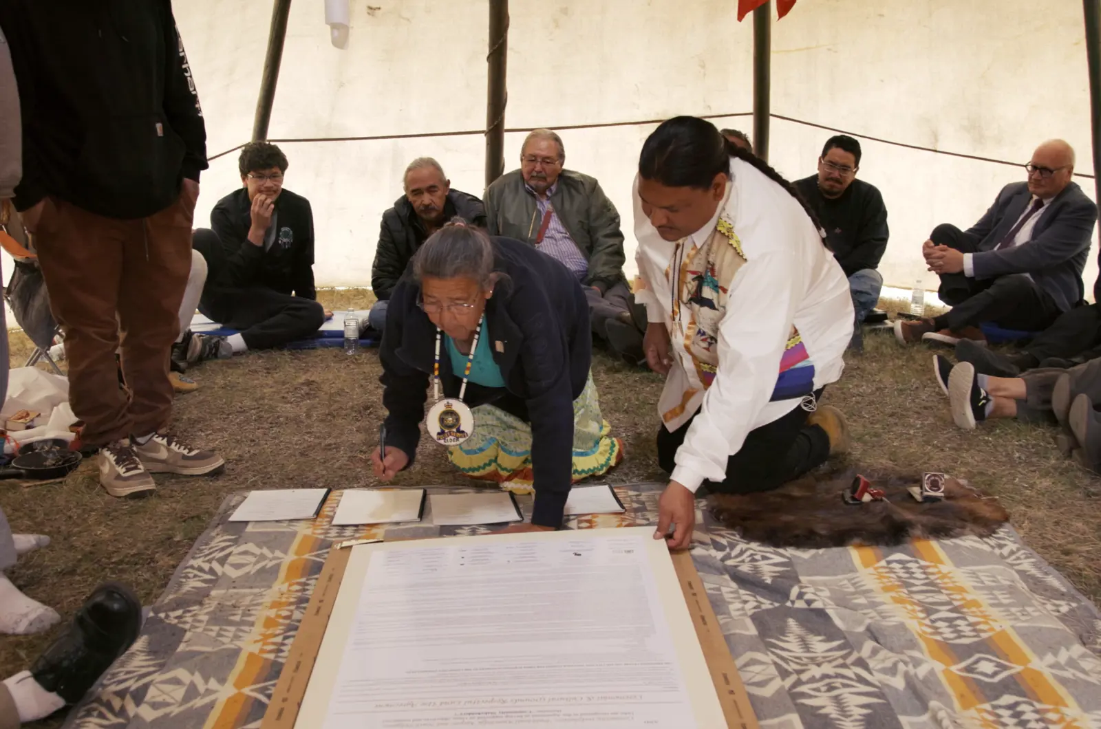
A commitment in partnership with the Prince Albert Indian Metis Friendship Center (PAIMFC) and the City of Prince Albert
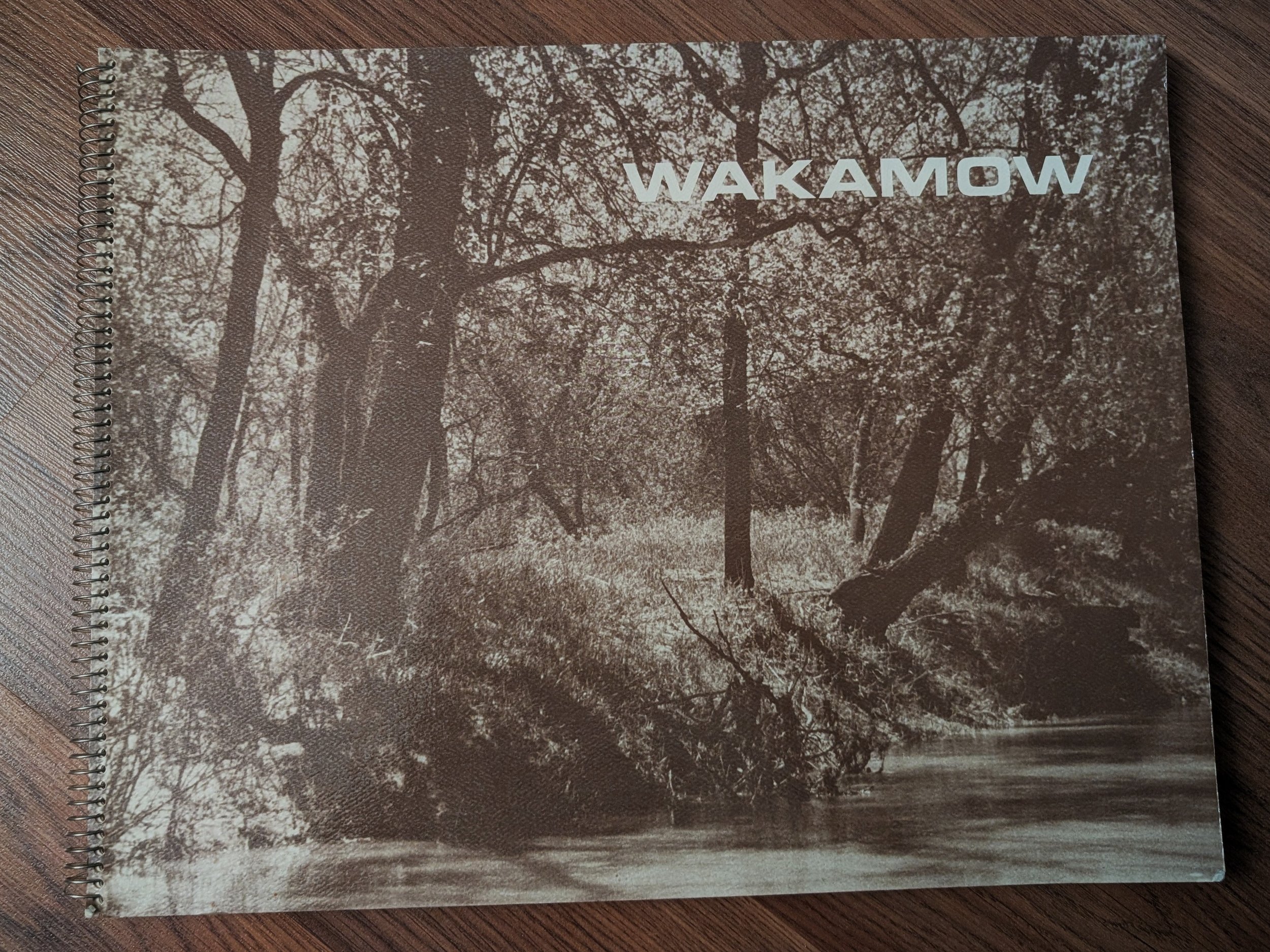
Masterplan update document from 1977, Wakamow Valley
If your masterplan focuses on conservation of natural spaces, or reclaiming sensitive natural ecosystems, how can you integrate these spaces within an existing park system with existing uses?
There may be good reasons to integrate an ecologically sensitive area into urban park systems to limit public access, or to prohibit development. In these cases, blocking or restricting access may be necessary, and if those areas were previously used for recreation, this may create a challenge. If handled carefully, it can also provide an opportunity for conservation education.
In order to balance conservation of these areas with recreation uses, can you identify other locations that can be repurposed to replace what was removed from a recreation area?
Protecting sensitive natural areas
For example, if you have a previously unrestricted area that was used as an unofficial hiking corridor or recreation area that contains ecologically sensitive species or habitat that requires rehabilitation, is there an opportunity to build official trails that encourage users to skirt an ecologically sensitive area?
Building trails, providing additional amenities, and using nearby locations to attract visitors to educate them about a conservation area could encourage desired uses, and add a valuable education opportunity.

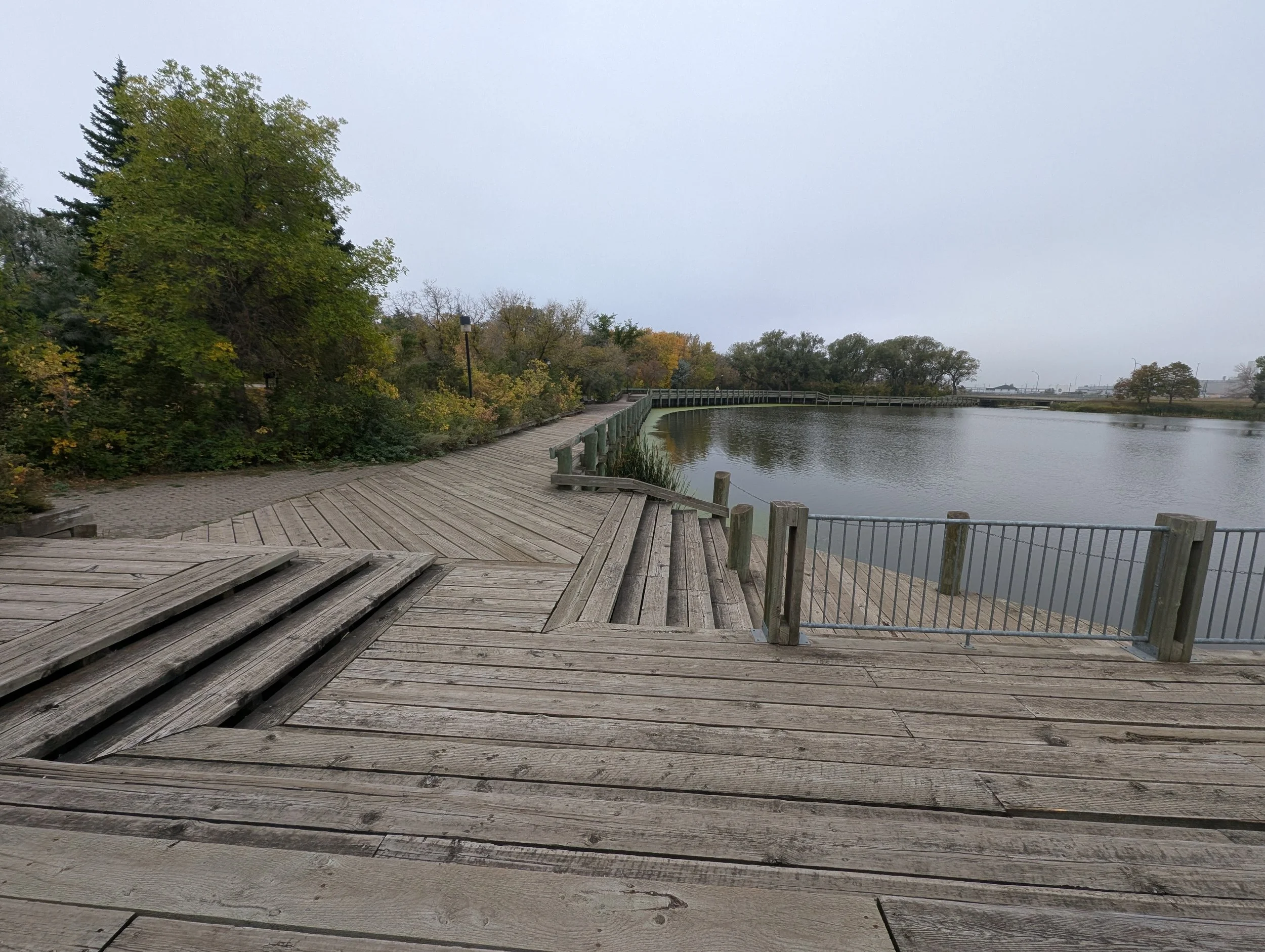
Balancing Conservation with Use in Wakamow Valley, Moose Jaw
CHECKLIST ITEMS
Increase conservation efforts in your park system to preserve native species and habitats. This might include more careful management of invasive species, remediating a shoreline or water source to encourage more wildlife, or redirecting traffic away from an ecologically sensitive area.
Find out more about the historical uses of your region, and contact local Indigenous groups to create valuable regional partnerships.
Paxton Lake, Wakamow Valley, Moose Jaw